Our Top Courses


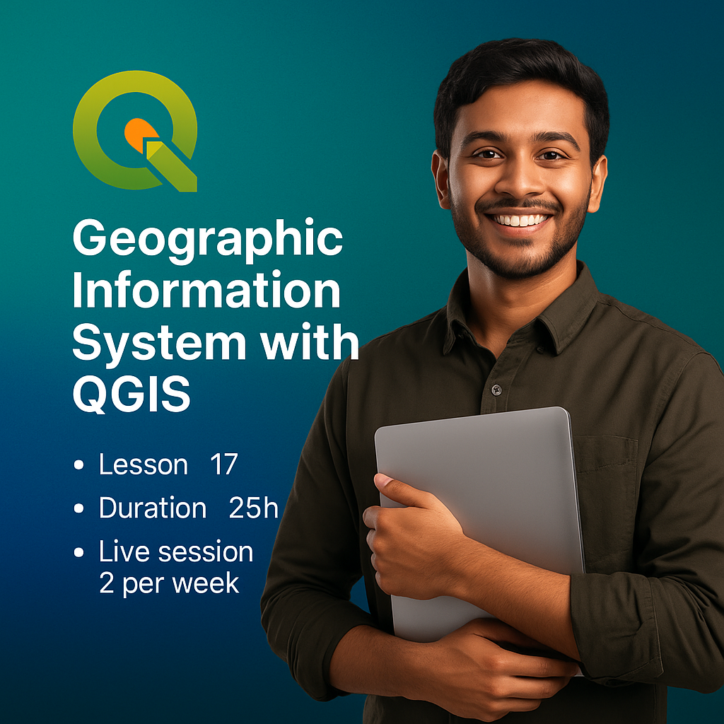
Geographic Information System with QGIS
Unlock the power of maps, data, and decision-making with our hands-on course on Geographic Information Systems (GIS) using QGIS — one of the…
0 Student
4,250.00৳
6,500.00৳
About Course
Unlock the power of maps, data, and decision-making with our hands-on course on Geographic Information Systems (GIS) using QGIS — one of the most popular open-source GIS tools in the world.
Whether you’re a student, researcher, development professional, urban planner, or simply curious about spatial data, this course will guide you through everything you need to analyze geographic data, create interactive maps, and solve real-world problems using location-based insights.
Starting from the basics, you’ll learn how to navigate QGIS, import and visualize data, perform spatial analysis, and create publication-ready maps—even if you’ve never worked with GIS before. With real-life examples and step-by-step tutorials, this course will help you build career-relevant skills for jobs in environmental studies, agriculture, public health, disaster management, urban planning, and more.
By the end of this course, you’ll not only understand what GIS is but also how to use it confidently, using QGIS for mapping, decision support, and spatial storytelling.
Benefits of the course
- By the end of this course, you'll be able to:
- 1. Understand the fundamentals of Geographic Information Systems (GIS).
- 2. Confidently navigate and use QGIS software
- 3. Work with spatial data formats (vector and raster)
- 4. Create, style, and design high-quality maps for reports or presentations.
- 5. Perform basic spatial analysis (buffering, clipping, intersecting, etc.).
- 6. Use real-world data to make informed, location-based decisions.
- 7. Apply GIS knowledge to real-world scenarios in agriculture, environment, health, and planning.
- 8. Export, publish, and share professional-looking maps.
Course Content
-
What is GIS and why it matters, Real-life applications of GIS in different fields
-
Overview of QGIS and installation guide
Instructor
4,250.00৳
6,500.00৳
- Update:August 14, 2025
- Lectures17
- Skill LevelIntermediate
- Course Duration: 25h
Your Instructor
GradBirds
- 0 Courses
- 2 Reviews
- 0 Students
Target Audience
- This course is perfect for:
- 1. Students and researchers in geography, agriculture, environmental science, or public health
- 2. Development professionals and NGO workers
- 3. Urban planners and surveyors
- 4. Data analysts or decision-makers needing spatial data skills
- 5. Beginners with no prior GIS knowledge
- 6. Anyone curious about maps, data visualization, and real-world applications of geography
TOP COURSE
More Course By GradBirds
CV, SOP, Email Writing and LinkedIn Profile Optimization
If you’re planning to study abroad, apply for scholarships, or…
2,550.00৳
3,000.00৳
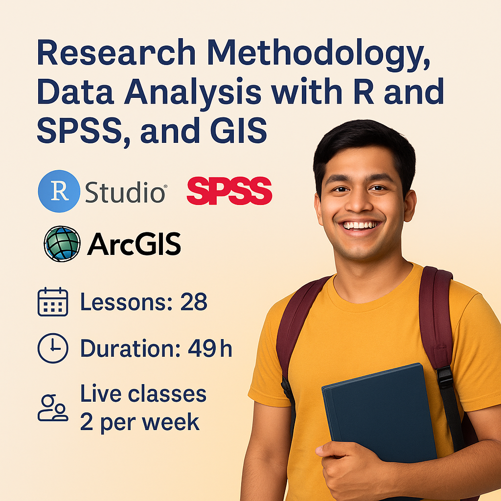
Research Methodology, Data Analysis with R and SPSS, and GIS
Master React from basics to advanced concepts with React Front…
6,250.00৳
8,000.00৳
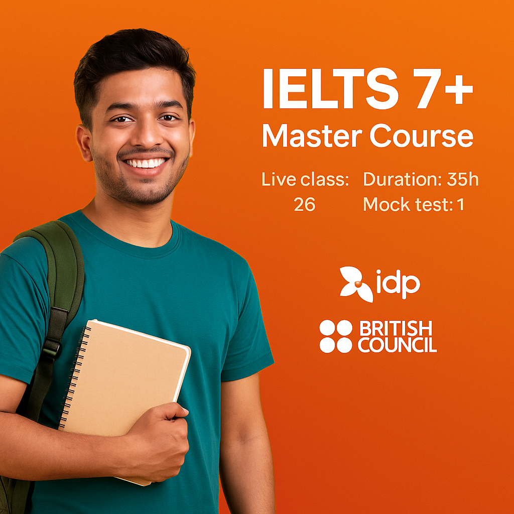
IELTS 7+ Master Course
Master React from basics to advanced concepts with React Front…
5,500.00৳
6,500.00৳
Explore All Products
Related Course
CV, SOP, Email Writing and LinkedIn Profile Optimization
If you’re planning to study abroad, apply for scholarships, or…
2,550.00৳
3,000.00৳
Research Methodology, Data Analysis with R and SPSS, and GIS
Master React from basics to advanced concepts with React Front…
6,250.00৳
8,000.00৳
Geographic Information System with QGIS
4,250.00৳
6,500.00৳